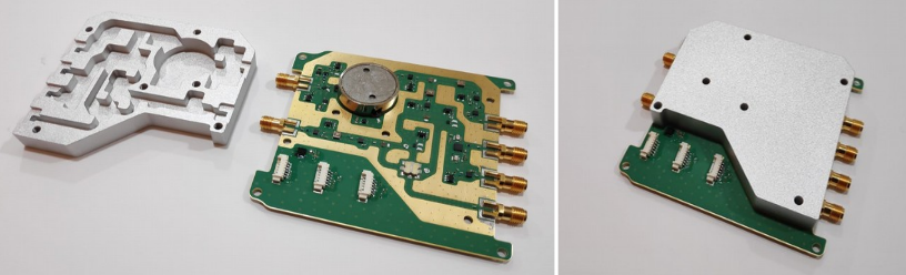
New Space: RF front-end for the Flexible Microwave Payload-2
Case study: water seepage through the Crypt roof at Colonia Güell, and comparison with GPR measurements.
The Crypt is a well known building constructed by the architect Gaudí at Colonia Güell near to Barcelona. The original roof had been suffering from water leakage (infiltrations) when a team of architects decided to build a new roof over the original in order to protect it. Unfortunately, the problem was not solved and water continued to seep into the crypt. A new diagnosis of the issue was needed.
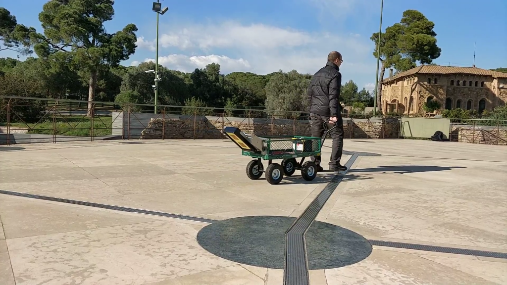
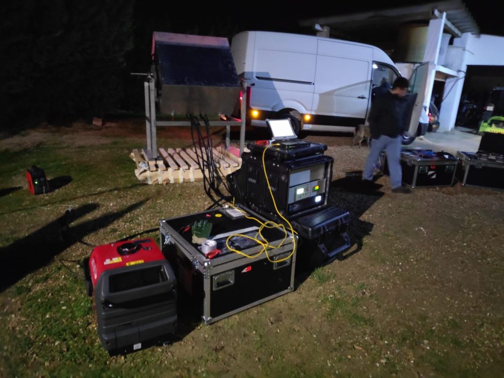
Balamis ground version radiometer was mounted on a pushcart to
retrieve the measurements. The Colonia new roof is made from compact
ceramic without metal reinforcement and the material is impermeable to
water (no water pooled inside or under the roof). In these conditions
passive microwaves penetrate between 20 and 25 cm.
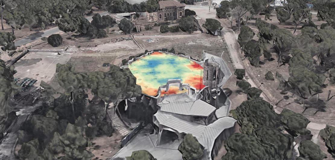
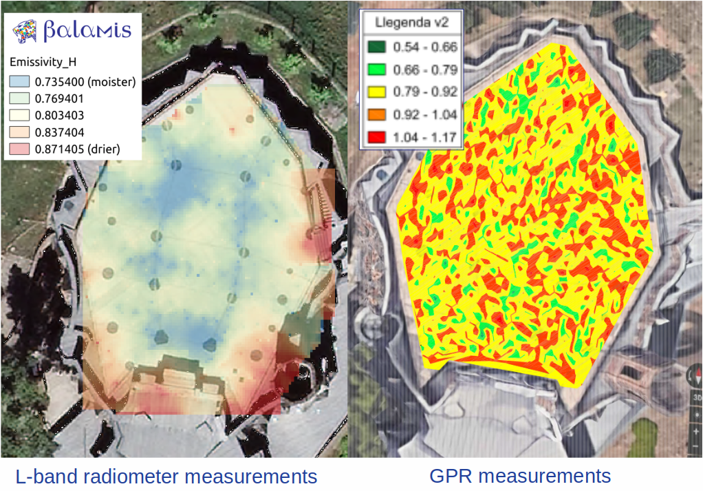
The image on
the left shows moisture distribution as resolved by the Balamis
radiometer. A clear concentration map reveals the key points of
infiltration. This type of measurement is not possible using alternative
technologies like thermographic cameras since moisture presence was
deeper, and GPR did not prove to have enough sensitivity to retrieve its
presence (see image bellow).
The ability to identify water
seepage helps to plan the most suitable corrective action and avoid very
expensive repairs in the future.
Author: Roger Jove

L-band radiometers have been historically used by space agencies and research institutes to estimate and analyze soil moisture and ocean salinity through remote sensing.
Space-borne radiometers are used for global climate change and water cycle studies. The advantage of satellite observations lie on their capability to provide time-continuous large-area measurements. Nevertheless, satellite observations suffer from coarse spatial resolutions. Current space-borne L-band radiometers offer spatial resolutions in the order of 40 km per pixel or 1 km with multisensor data fusion algorithms, making difficult their operational use for precision applications.
On ground, radiometers have been mainly used for satellite data and radiation model validation studies so far. They are large, heavy and complex systems offering high antenna directivity with multi-angular measurement capability, but at the expense of portability. This lack of mobility makes them not suitable to be used for ground measurement campaigns over large areas.
Top soil measurements over large areas with high spatial resolution was an application not covered yet. The depth of L-band radiometers measurement offers a trade-off option between thermal imagery and ground penetrating radars for top soil purposes.
Applications derived from the measurement of soil moisture distribution with spatial resolution up to 1 m over large areas are now feasible with the development of the first compact radiometers. Balamis has contributed to the development of the compact, portable and easy to use L-band radiometer ARIEL. ARIEL is a dual polarization L-band radiometer, designed to be simple, robust and capable to support high vibrations and impacts that may appear in operational field measurement campaigns.
The original ARIEL instrument, originally intended for soil moisture distribution for precision agriculture, has currently proven to contribute also to new ground remote sensing applications:
· Agriculture and environment: soil moisture & soil variability.
· Structures: moisture measurement, leakage detection and seepage.
· Sea ice: ice thickness.
· Roads: density changes.
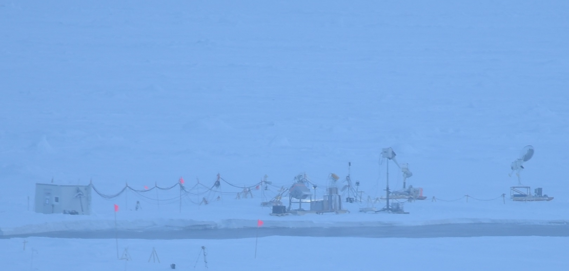
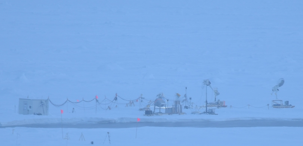
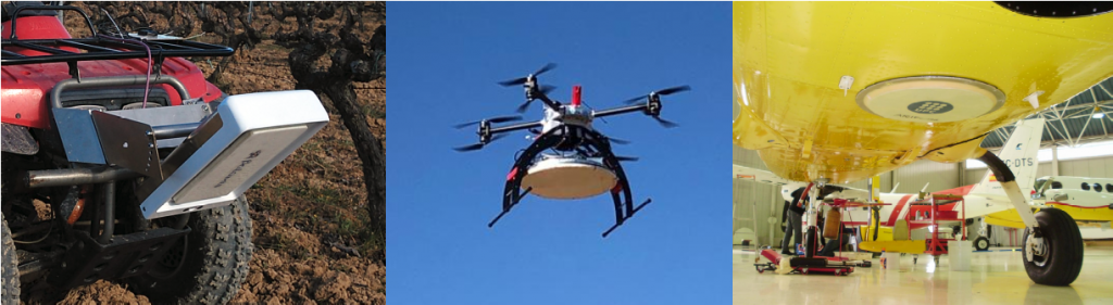
The Balamis ARIEL L-band radiometer has modular electronics, which have made also possible the design and development of radiometers able to be on-board planes, drones and ground vehicles, in this case, ranging from ATV’s and tractors to sledges.
Author: Roger Jove